
Ships could avoid whale-shark gathering areas with only a small fuel penalty on longer journeys, according to University of Southampton-led research announced on November 11. The university's release says the study is published in Royal Society Open Science.
The modelling found that diversions on voyages longer than six days required no more than 1% extra fuel. For journeys exceeding 12 days, the reported increase was 0.5%. On shorter trips, slowing vessels through the animals' habitat was the more fuel-efficient option.
What the researchers tested
The team added maps of whale-shark hotspots to commercial voyage-planning software and simulated eight crossings starting in the Persian Gulf and Gulf of Mexico. The vessels studied were container ships and oil tankers.
Southampton's announcement, also carried by Phys.org, describes a practical way to bring wildlife information into navigation systems already used by shipping companies. It does not report an industry-wide rollout or a measured reduction in animal deaths following implementation.
Why the voyage length matters
An earlier version of the research, posted as a preprint in September 2025, makes the comparison clearer. It tested a normal optimised route, a 10-knot speed limit within core habitat and complete avoidance of those areas.
Across all its scenarios, fuel-use changes ranged from a 0.13% decrease to a 9.65% increase. That wider range is a useful caution: the low-cost finding for long journeys should not be read as a guarantee that every diversion costs less than 1%.
The preprint also identified vessel type and operating constraints as factors affecting the outcome. These are modelled comparisons, rather than records of fuel bills from a shipping fleet that has adopted the measures.
Wildlife information needs to reach the bridge
The approach fits a broader discussion about making navigation more responsive to animal movements. In March, the Alan Turing Institute described proposals to put biological information into ships' electronic navigation systems, including warnings of areas where collisions are more likely.
That proposal called for satellite tracking, acoustic detections, sightings and habitat models to inform decisions, alongside information about how reliable the data is. It remains a proposal, not evidence that a new global shipping rule has taken effect.
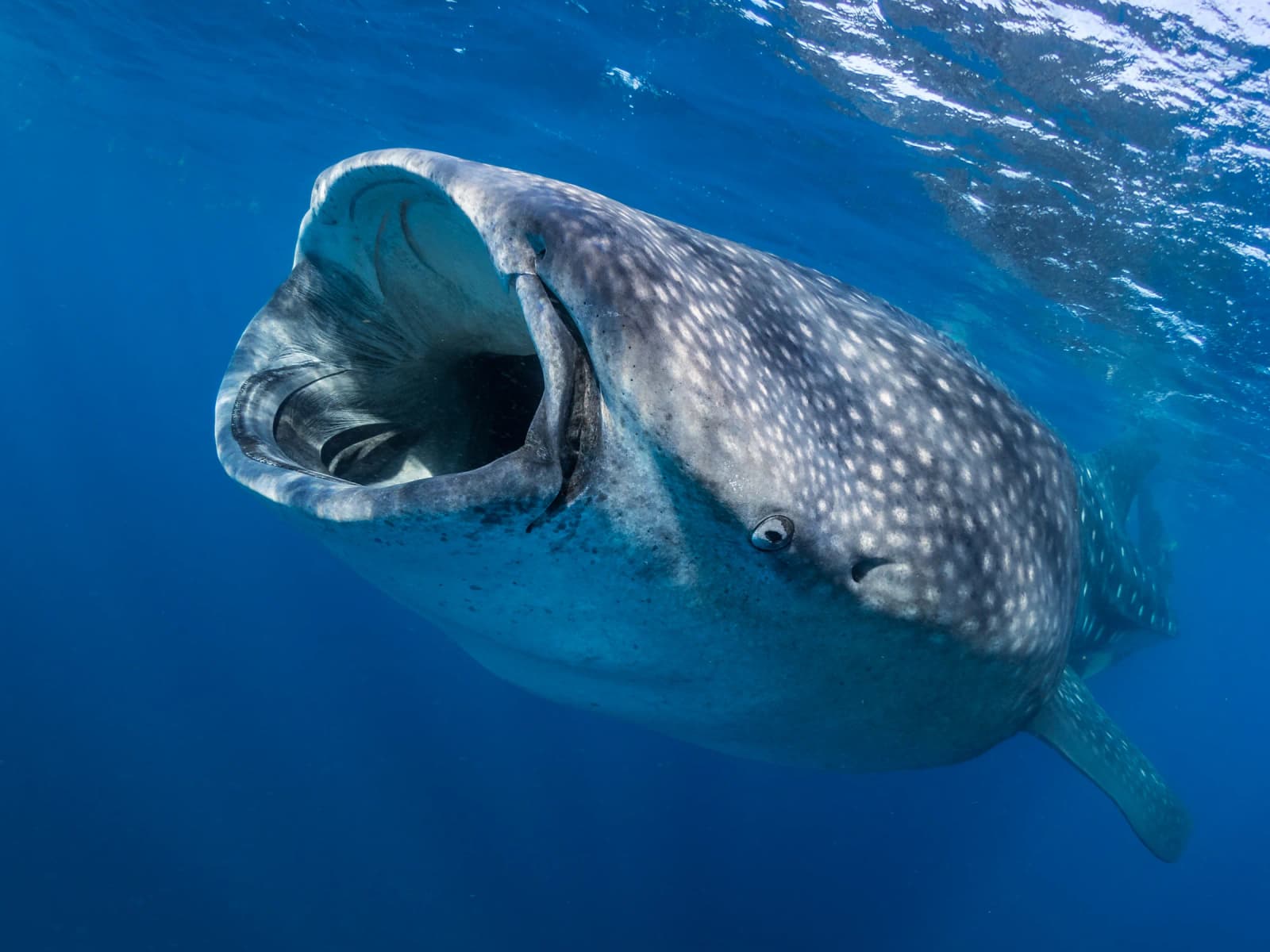
Archive photograph: whale shark feeding off Mexico, July 18, 2015; illustrative, not an image of the study. Photo: Simon Pierce / MarineMegafauna, Wikimedia Commons, CC BY-SA 4.0. Unchanged original. PS