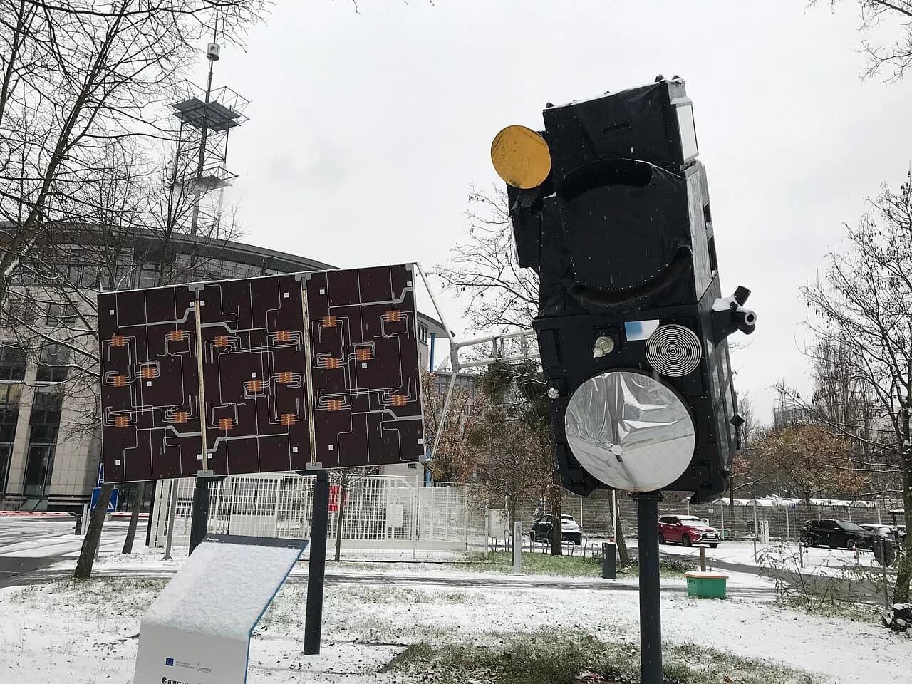
Europe's newest Copernicus climate-monitoring satellite, Sentinel-3C, has sent back its first thermal images, showing land in Western Australia heated to above 40°C and burn scars left by wildfires in Spain and France. The European Space Agency (ESA) released the pictures on 18 November 2026.
The images come from the Sea and Land Surface Temperature Radiometer (SLSTR), one of four science instruments on the satellite, which lifted off on 15 September 2026 on a Vega-C rocket together with ESA's FLEX mission. ESA said the radiometer is already performing well even though the satellite has not yet been fully commissioned, calling it "excellent news".
What the first images show
One set of images, captured on 4 November, covers the Kimberley region of Western Australia, including the town of Broome, the Dampier Peninsula and the Rowley Shoals, a group of three coral atolls lying below the ocean surface. Across much of the scene the land reads above 40°C, while parts of the northern coast register 35°C or less and the eastern Indian Ocean sits at around 20°C. ESA noted that the region has recently gone through heatwave conditions and wildfires, which it linked to the El Niño climate cycle.
A second set, taken on 2 November, sweeps across southern Portugal, Spain's Andalusia region, northern Spain, France, Morocco, the northern coast of Algeria and the Atlantic Ocean. Southern Portugal and Andalusia appear in the mid-to-high 20s°C, while parts of Morocco and northern Algeria exceed 30°C. Burn scars can be picked out west of Madrid and near Bordeaux. ESA described this as part of a worldwide pattern of more intense and extreme weather linked to climate change and to El Niño, the kind of data it said the Sentinel-3 mission is built to observe.
How the instrument works
SLSTR has nine spectral bands spread across visible, shortwave infrared and thermal infrared light, and two channels dedicated to spotting wildfires and tracking how intensely they burn. Its main job is to measure the temperature of land and sea surfaces.
ESA cautioned that the thermal channel records "brightness temperature" at the top of the atmosphere, which corresponds to radiation given off by land and sea surfaces and may not match the physical temperature on the ground or the water. According to the agency, thermal and shortwave infrared readings can also reveal soil moisture, the health of vegetation, damage from wildfires, the mineral make-up of rocks and gases in the atmosphere.
Part of a wider Earth-watching system
The Sentinel-3 mission systematically measures Earth's oceans, land, ice and atmosphere and supplies the data to the European Union's Copernicus services, ESA said. The thermal pictures follow an earlier image from the radiometer's visible-light channels, and images from the satellite's ocean and land colour instrument (OLCI) and its radar altimeter that were published last month.
What next
With the thermal and shortwave infrared channels now switched on, Sentinel-3C continues its commissioning phase. ESA has not yet said when its data will begin flowing into routine Copernicus services.
PS · Neq00, CC BY-SA 4.0