Heavy rain across the US Southwest has rapidly raised Navajo Reservoir, a lake stretching across northern New Mexico and southern Colorado, while floods have damaged communities upstream.
In an analysis published on 11 November, NASA Earth Observatory compared Landsat 9 images taken on 20 September and 7 November 2026. Citing US Army Corps of Engineers data, NASA said the reservoir rose by nearly 60 feet, or 18 metres, between those dates.
From low water to above the seasonal average
On 7 November the reservoir was at its highest level since August 2019. Its stored water was 108% of the average for that date, compared with 60% on 20 September, NASA said. Those figures compare storage with the seasonal average; they do not mean the reservoir exceeded its total capacity.
NASA also noted that releases from Navajo Dam were reduced on 16 and 17 September. Rainfall and reservoir operations both form part of the context for changes in water levels.
Flood damage alongside drought relief
Rain-swollen rivers included the San Juan and Piedra. NASA reported serious flooding at Pagosa Springs, Colorado, with damage to streets and property and evacuations and rescues. The Colorado Climate Center separately documented the late-October and early-November floods and damage to homes and roads in the southwest of the state.
The storms brought short-term drought relief, but the climate centre cautioned that the wider Colorado River water challenge remains complex: the response of large downstream reservoirs has been uneven, and some long-term drought conditions persist.
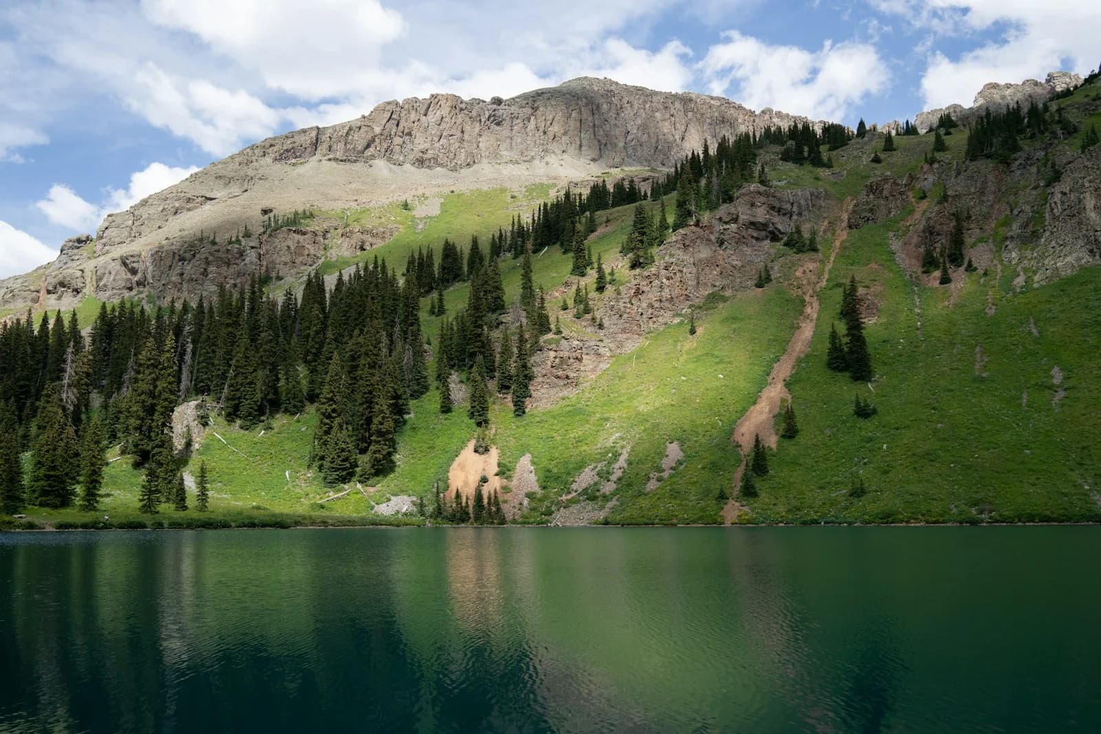
Image: An illustrative photograph of a lake in Colorado's San Juan National Forest, not Navajo Reservoir or the 2026 flood. Resized and converted. Photo: Alex Moliski / Unsplash, Unsplash License.
Sources: NASA Earth Observatory and Colorado Climate Center.