
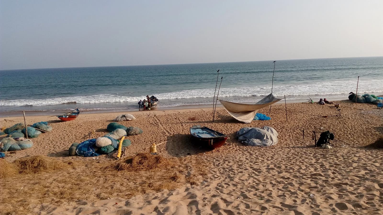
Cyclonic Storm Akvan crossed the north Andhra Pradesh and south Odisha coasts close to Gopalpur in Odisha's Ganjam district between 7:30 am and 8:30 am on 20 November 2026, with sustained winds of 70-80 km/h gusting to 90 km/h, the India Meteorological Department (IMD) said in its national bulletin. The storm had weakened from a severe cyclonic storm before landfall, and the IMD expects it to keep losing strength as it moves inland across Odisha.
Where is Cyclone Akvan now and how fast is it weakening?
At 8:30 am the centre of the storm lay over south coastal Odisha and adjoining north coastal Andhra Pradesh, about 120 km north-east of Kalingapatnam, 130 km west-south-west of Puri and 230 km north-east of Visakhapatnam, the IMD said. It had moved north-north-westwards at about 26 km/h over the previous six hours and was being tracked by the Doppler weather radar at Gopalpur.
The IMD forecast that Akvan would turn north-north-eastwards across Odisha, weaken into a deep depression within three hours and into a depression in the following six hours. By late on 20 November it is expected to be a well-marked low-pressure area over the region.
Which states face heavy rain?
The bulletin warned of heavy to very heavy rain at isolated places in Odisha on 20 November. Gangetic West Bengal and Jharkhand could see heavy to very heavy rain on 20 November and heavy rain on 21 November. Heavy rain is also likely in east Chhattisgarh on 20 and 21 November, in south-east Bihar on 21 November, and in parts of Manipur, Tripura, Mizoram, Assam and Meghalaya over the two days.
The IMD flagged a moderate flash-flood risk over the next 24 hours in Odisha's Gajapati, Ganjam, Jagatsinghpur, Kendrapara, Puri, Balasore, Keonjhar, Mayurbhanj, Sambalpur, Sundargarh and Deogarh districts, in ten districts of Gangetic West Bengal including Bankura, Purulia, Howrah and North and South 24 Parganas, and in seven Jharkhand districts including Ranchi and East Singhbhum.
It warned of damage to kutcha and pucca roads, waterlogging in low-lying areas, and possible disruption to rail services, overhead power lines, signalling and airports, and advised people in affected areas to stay indoors.
What are the warnings for fishermen?
Fishermen have been told not to go into the west-central Bay of Bengal until the night of 20 November and the north-west Bay of Bengal until the morning of 21 November. Gale-force winds of 60-70 km/h gusting to 80 km/h were blowing along and off the south Odisha coast and were expected to ease to squally winds by the evening, the IMD said.
How has Odisha prepared?
The Odisha government evacuated nearly three lakh people, set up 9,341 cyclone shelters and deployed 423 rescue teams in vulnerable areas, the Press Trust of India reported. Odisha's Special Relief Commissioner Rajesh P. Patil had confirmed 2,98,676 evacuations to 2,523 relief camps by Thursday evening, according to The Logical Indian. All India Radio News reported that teams of the National Disaster Response Force, the Odisha Disaster Rapid Action Force and fire services were mobilised.
Railways had cancelled dozens of trains in Odisha and Andhra Pradesh ahead of the storm, as reported earlier, and East Coast Railway announced further cancellations on Friday morning. Akvan is the third cyclone to threaten Odisha in 24 days, according to the Press Trust of India; it changed course after initially being projected to make landfall in Andhra Pradesh.
What is confirmed and what is not
The landfall location, timing and wind speeds are confirmed by the IMD. There was no official statement on casualties or the extent of damage to homes, crops or power lines by Friday afternoon, and the state's damage assessment is still to come. For background on the forecast and how the storm was tracked, see our explainer on Cyclone Akvan.
Photo source · Buddy.forever.985, CC BY-SA 4.0